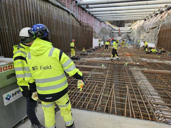
Field Survey Ålesund is a geomatics company that specializes in surveying, geoscanning and mobile mapping. The company delivers precise geographic information using advanced technology, including sensors and artificial intelligence. With experience from both the private and public sector, they offer services such as 3D scanning, stitching, drone images and as-built documentation. Field Survey Ålesund has authorized property surveyors who assist municipalities and public actors with case management, surveying business and cadastral record keeping.
As part of Field Geospatial AS, Field Survey Ålesund operates both in the Nordics and internationally. The company was previously known as Terratec and has a strong focus on helping customers make informed decisions for safe and efficient environments. Through interactive software and property services, they contribute to a better decision-making basis for planning, building and managing infrastructure and development projects.


