



Preikestolen, Trolltunga and Kjerag: how long is the hike, how long does it take, and when can you go?
Updated 27.09.2026. Facts checked against Store norske leksikon (the Norwegian encyclopedia), Visit Norway and the official Trolltunga website.
Short answer: The hike to Preikestolen (Pulpit Rock) is 8 km return and takes about 4 hours. Kjerag is about 11 km return and takes 6–10 hours. Trolltunga is 27 km from Skjeggedal (8–12 hours) or 20 km from Mågelitopp (7–10 hours). Without a guide, you can hike Preikestolen in May–October, Kjerag from mid-May and Trolltunga from 1 June to 30 September. Outside the season you need a guide and winter equipment.
Key facts
| Topic | Facts | Source, checked |
|---|---|---|
| Preikestolen | 604 m above the Lysefjord, plateau about 25 × 25 m, Strand municipality in Rogaland | Store norske leksikon (updated 25.11.2024), 27.09.2026 |
| Hike to Preikestolen | 8 km return, about 4 hours, about 500 m of ascent, season May–October | Visit Norway, 27.09.2026 |
| Kjerag | Highest point 1,132 m above sea level, a drop of almost 1,000 m straight down to the Lysefjord, Sandnes municipality | Store norske leksikon, 27.09.2026 |
| Hike to Kjerag | About 11 km return from Øygardstøl, 6–10 hours, 800 m of ascent | Visit Norway, 27.09.2026 |
| Trolltunga | About 700 m above Ringedalsvatnet lake, Ullensvang municipality in Vestland | Trolltunga.com; Store norske leksikon, 27.09.2026 |
| Hike to Trolltunga | 27 km from P2 Skjeggedal (8–12 hours), 20 km from P3 Mågelitopp (7–10 hours); without a guide 1 June–30 September | Trolltunga.com, 27.09.2026 |
| Norwegian Mountain Code | Nine rules from DNT (the Norwegian Trekking Association) and the Red Cross, written in 1952, revised in 2016 | Store norske leksikon, 27.09.2026 |
Which applies to you?
- You have one day in Stavanger: see Preikestolen – the shortest of the three hikes.
- You are fit and want a demanding hike: see Kjerag and Kjeragbolten.
- You have a full day and plenty of experience: see Trolltunga.
- You want a short and easy walk: see easy hikes for beginners and families.
- You are travelling outside summer: see when you can go and mountain safety.
Which hike is easiest: Preikestolen, Kjerag or Trolltunga?
| Hike | Return | Time | Ascent | Difficulty |
|---|---|---|---|---|
| Preikestolen | 8 km | about 4 hours | about 500 m | medium |
| Kjerag | about 11 km | 6–10 hours | 800 m | demanding, even for experienced hikers |
| Trolltunga from P3 Mågelitopp | 20 km | 7–10 hours | about 320 m | very demanding |
| Trolltunga from P2 Skjeggedal | 27 km | 8–12 hours | almost 800 m | very demanding |
Preikestolen is the easiest of the three, but you need some experience of rough terrain. Kjerag has steep sections with chains and wires. Trolltunga is the longest: the hike is over 20 km and is rated very demanding (Visit Norway; Trolltunga.com, checked 27.09.2026).
Preikestolen: how long does the hike take, and how do you get there?
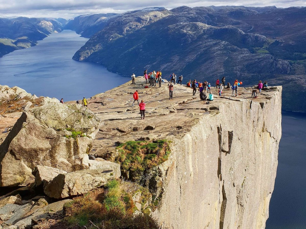
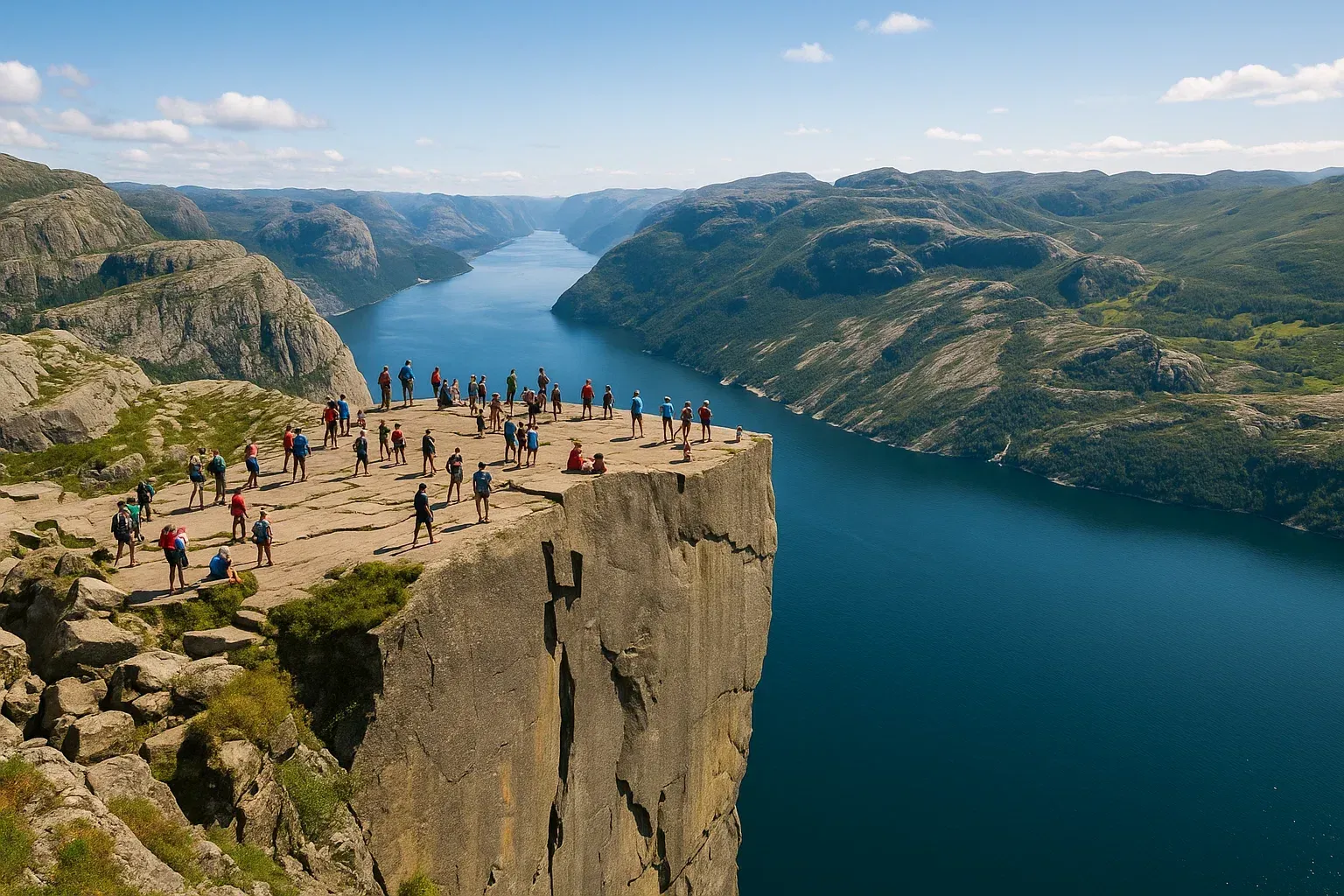
- Where: on the north side of the Lysefjord in Strand municipality, Rogaland. The plateau is 604 m above the fjord and about 25 × 25 m (Store norske leksikon).
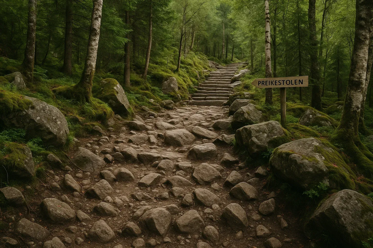
- The hike: starts at Preikestolen Fjellstue (the mountain lodge). It is 8 km return, takes about 4 hours and has about 500 m of ascent. It is rated medium (Visit Norway). The route was certified as a national tourist trail in 2020 (Store norske leksikon).
- From Stavanger: buses run from Stavanger city centre to the lodge in about 50 minutes through the Ryfylke tunnel (Fjord Norway). By car, take Rv 13 via Jørpeland (Visit Norway).
- Toilets: there are no toilets along the trail – use the ones at the car park before you start (Visit Norway).
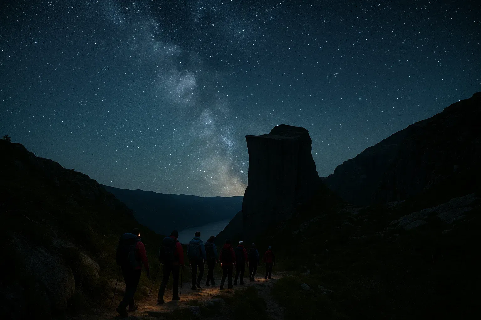
- Crowds: around 350,000 people hiked to Preikestolen in 2022 (Store norske leksikon). To avoid queues, start early or hike at night to see the sunrise (Visit Norway).
Read also: first time at Preikestolen and kayaking in the Lysefjord.
Kjerag and Kjeragbolten: how long is the hike?
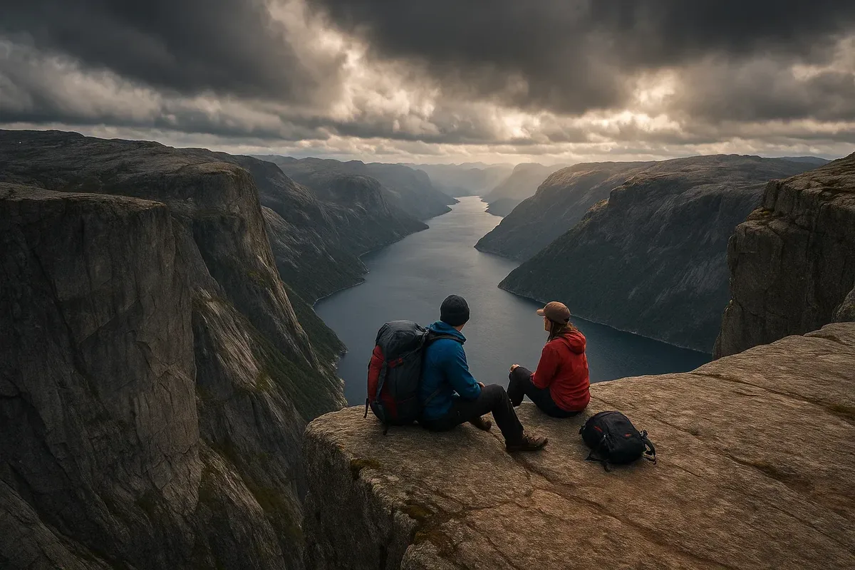
- Where: at the inner end of the Lysefjord, on the south side, in Sandnes municipality. The highest point is 1,132 m above sea level, and on the north side the mountain drops almost 1,000 m straight down to the fjord. Kjeragbolten is a large boulder wedged in a crevice several hundred metres deep, just west of the plateau (Store norske leksikon).
- The hike: starts at the car park at Øygardstøl on the Lysevegen road. It is about 11 km return, takes 6–10 hours and has 800 m of ascent. On the steepest sections you hold on to chains and wires (Visit Norway).
- Getting there: car ferry from Stavanger to Lysebotn, then by car or taxi to Øygardstøl, or drive through Sirdalen. In summer there is a bus from Stavanger to Øygardstøl (Visit Norway).
- Weather: do not go if strong wind, heavy rain or fog is forecast. The trail gets slippery in the rain (Visit Norway).
Trolltunga: where is it, and how long is the hike?
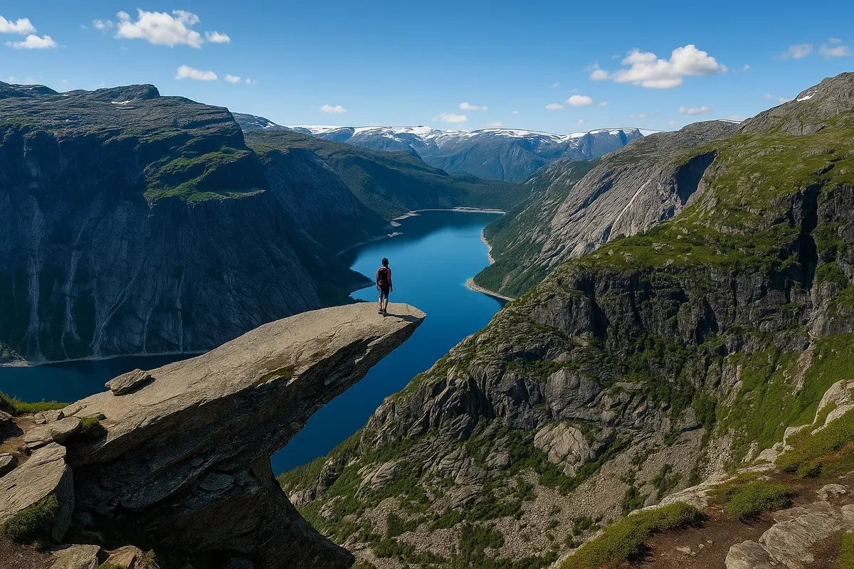
- Where: in Ullensvang municipality in Vestland, about 700 m above Ringedalsvatnet lake. The hike starts in Skjeggedal near Tyssedal, close to Odda (Trolltunga.com; Store norske leksikon). In 2019, 81,000 people did the hike, compared with fewer than 1,000 a year before 2010 (Store norske leksikon).
- Three starting points: from P1 Tyssedal the hike is 38 km return (about 15 hours), from P2 Skjeggedal 27 km (8–12 hours) and from P3 Mågelitopp 20 km (7–10 hours). The ascent is almost 800 m from Skjeggedal and about 320 m from Mågelitopp (Trolltunga.com; Visit Norway).
- Parking: P1 Tyssedal has 227 spaces and P2 Skjeggedal 229 spaces, both open all year. P3 Mågelitopp has 30 spaces and is open 8 June–30 September 2026; until 31 August you must book in advance. Price for one day: P1 NOK 330, P2 NOK 550, P3 NOK 600 (Trolltunga.com, checked 27.09.2026).
- Buses: shuttle buses run between Odda, P1 and P2 (about 30 minutes from Odda to P2) and between P2 and P3. Buses run to Odda from Bergen, Voss, Stavanger and Oslo, among others (Trolltunga.com).
- Photo queue: busiest in July and August, especially 12:00–15:00. Expect 30–45 minutes on weekdays and 60–90 minutes on Saturdays (Trolltunga.com).
- Emergency shelters and camping: along the trail there are emergency shelters with sleeping bags, blankets and food – for emergencies only. Camping is not allowed at the car parks; there are campsites in Odda (Trolltunga.com; Visit Norway).
Read also: complete guide to Trolltunga and which route to choose to Trolltunga.
When can you go without a guide?
- Preikestolen: the season is May–October. From November to April you need special equipment and a guide (Visit Norway).
- Kjerag: the county road to Øygardstøl opens around mid-May and closes in October or November because of snow. Before mid-May you need special equipment and a guide (Visit Norway).
- Trolltunga: experienced hikers can go on their own from 1 June to 30 September. The rest of the year a guided hike is recommended. Some years there is snow until well into June (Trolltunga.com).
- Weather: check the forecast before you go – see weather in Norway and how to read the forecast.

Mountain safety: how do you hike safely?
The Norwegian Mountain Code (fjellvettreglene) is nine rules for safe hiking. It was written by DNT and the Red Cross in 1952 and revised in 2016 (Store norske leksikon). The most important points for these three hikes:
- Plan your hike and tell someone where you are going.
- Choose a hike that suits your fitness and the weather.
- Bring food, water and clothes for rain and cold, even in summer. There is nowhere to buy food along the trails (Fjord Norway).
- Turn back in time, and keep well back from the edge. Around Trolltunga there are steep cliffs with no fences (Visit Norway).
The emergency number is 112. More about emergency numbers and what to do if you get lost: emergency numbers in Norway and plan B.
Easy hikes in Norway: where can beginners and families go?
You do not need to hike to Trolltunga to have a good day out. These walks are short, and several of them are in or right next to the cities.
- Sognsvann, Oslo: a lake in Nordmarka, 183 m above sea level, at the end of the metro line (Sognsvannsbanen). The path around the lake is adapted for people with reduced mobility (Store norske leksikon, updated 28.05.2026).
- Fløyen, Bergen: walk up from the lower Fløibanen station on Vetrlidsallmenningen in 45–60 minutes, or take the Fløibanen funicular up and walk down in about an hour. The walk suits all ages (Visit Bergen).
- Ravnedalen, Kristiansand: a nature park with paths, a small lake and steep cliffs, laid out in 1876 by General Wergeland. Open all year, with a café in summer (Visit Sørlandet).
- Månafossen, Gjesdal in Rogaland: the waterfall is 92 metres high. The hike is 2.6 km with 198 m of ascent, with stone steps and chains on the steepest parts. The path is slippery in the rain (Fjord Norway).
- Storseterfossen, Geiranger: from Vesterås farm (320 m above sea level) the walk takes 45–60 minutes each way, with about 220 m of ascent. The path goes behind the waterfall and is slippery when wet (Fjord Norway).
- Kvalvika, Lofoten: from Fredvang it is 3 km each way to the beach. The hike is moderate to challenging. From 22.06 to 30.09.2026 parts of the trail are diverted because of maintenance work (Visit Lofoten).
More ideas: 7 easy Norwegian trails and 7 easy trails in Southern Norway for families.
Tours, hotels and gear
| Place | Tours and guides | Hotels | Gear rental | Outdoor shops |
|---|---|---|---|---|
| Stavanger | Tours and guides | Hotels | Gear rental | Outdoor shops |
| Sandnes | Tours and guides | Hotels | Gear rental | Outdoor shops |
| Bergen | Tours and guides | Hotels | Gear rental | Outdoor shops |
Stavanger is the base for Preikestolen and Kjerag, Odda for Trolltunga. See also Jørpeland and Odda in the directory.
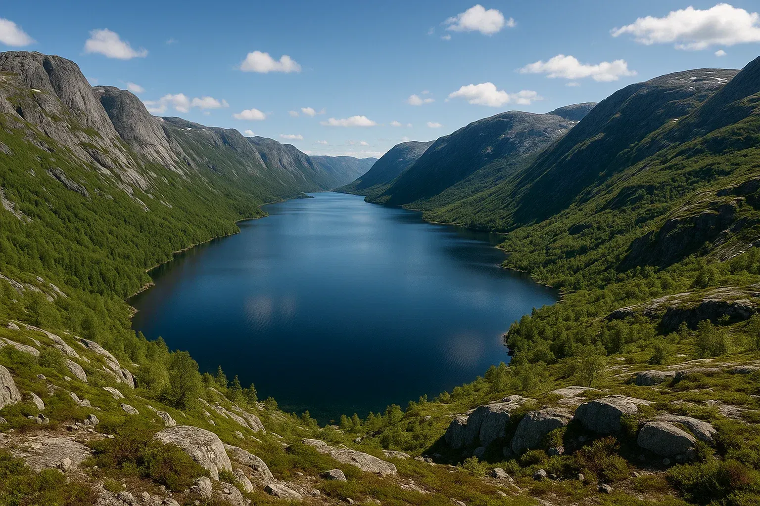
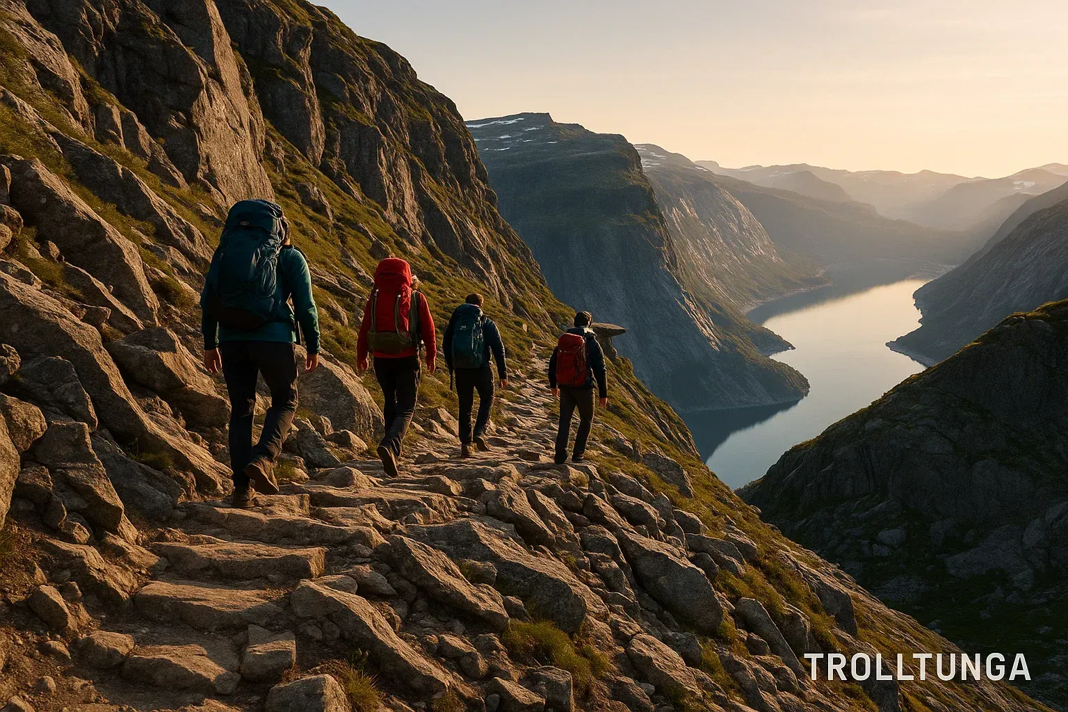
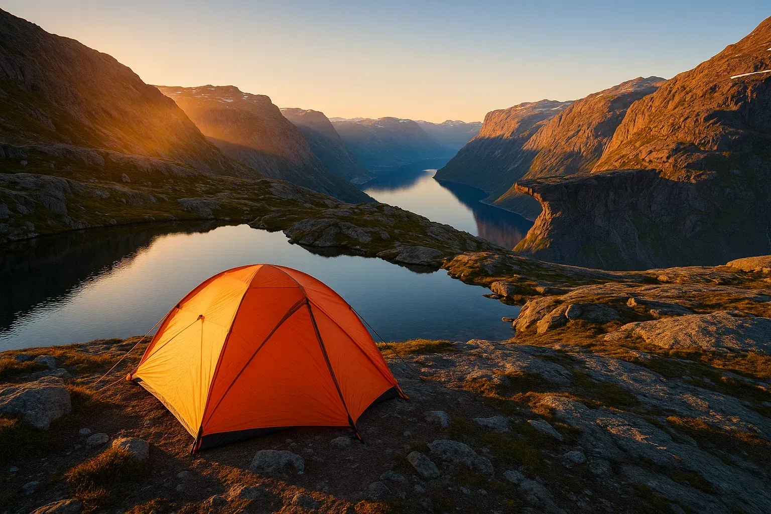
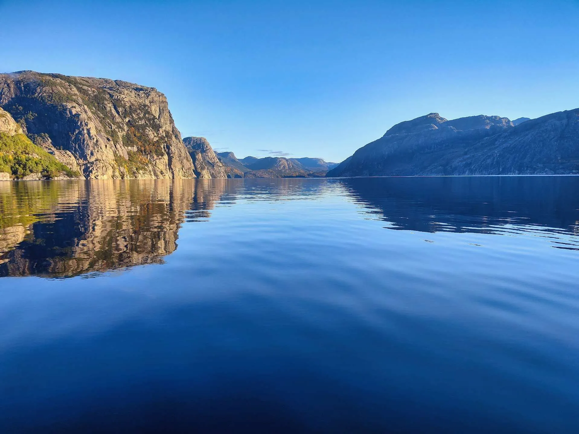
Photos: Preikestolen, Kjerag and Trolltunga
People also ask
- How long does it take to hike to Preikestolen?
- How far is the hike to Preikestolen?
- How high is Preikestolen?
- How do you get to Preikestolen from Stavanger?
- Can you hike Preikestolen in winter?
- How long does it take to hike to Kjeragbolten?
- How high is Kjerag?
- When does the road to Øygardstøl open?
- Where is Trolltunga?
- How long is the Trolltunga hike?
- Where do you park for Trolltunga?
- When can you hike Trolltunga without a guide?
- Which hike is easiest: Preikestolen, Kjerag or Trolltunga?
- What is the Norwegian Mountain Code?
- What are some easy hikes in Norway?
- Where can you hike in Southern Norway?
Frequently asked questions about Preikestolen, Kjerag and Trolltunga
About 4 hours return. The hike is 8 km with about 500 m of ascent (Visit Norway).
The plateau is 604 m above the Lysefjord and about 25 × 25 m (Store norske leksikon).
By bus from Stavanger city centre to Preikestolen Fjellstue, about 50 minutes (Fjord Norway), or by car via Rv 13 and Jørpeland (Visit Norway).
6–10 hours return from Øygardstøl. The hike is about 11 km with 800 m of ascent (Visit Norway).
The highest point is 1,132 m above sea level. Towards the Lysefjord there is a drop of almost 1,000 m (Store norske leksikon).
In Ullensvang municipality in Vestland, about 700 m above Ringedalsvatnet lake. The hike starts in Skjeggedal near Tyssedal, close to Odda (Trolltunga.com; Store norske leksikon).
27 km return from P2 Skjeggedal (8–12 hours) or 20 km from P3 Mågelitopp (7–10 hours) (Trolltunga.com).
From 1 June to 30 September, and only if you are an experienced hiker. The rest of the year a guided hike is recommended (Trolltunga.com).
Nine rules for safe mountain hiking, written by DNT and the Red Cross in 1952 and revised in 2016 (Store norske leksikon).
Sources
All links checked 27.09.2026.
- Store norske leksikon: Preikestolen (updated 25.11.2024)
- Store norske leksikon: Kjerag
- Store norske leksikon: Trolltunga (updated 26.01.2023)
- Store norske leksikon: fjellvettreglene
- Visit Norway: hiking to Preikestolen
- Visit Norway: hiking to Kjerag
- Visit Norway: hiking to Trolltunga
- Trolltunga.com: the hike to Trolltunga
- Trolltunga.com: parking
- Trolltunga.com: FAQ
- Fjord Norway: bus from Stavanger to Preikestolen
- Store norske leksikon: Sognsvann (updated 28.05.2026)
- Visit Bergen: walking up or down Mount Fløyen
- Visit Sørlandet: Ravnedalen Valley Nature Park
- Fjord Norway: Månafossen
- Fjord Norway: Storseterfossen
- Visit Lofoten: Kvalvika and Ryten
Readers' experiences
Which of the hikes have you done, and how long did it take you? Write in the comments at the bottom of the page. We use your experiences when we update the guide.



1 comment
Log in to leave a comment